The Inca Build a Road Network Across the Andes
About 30,000 kilometers of road tied an empire together.
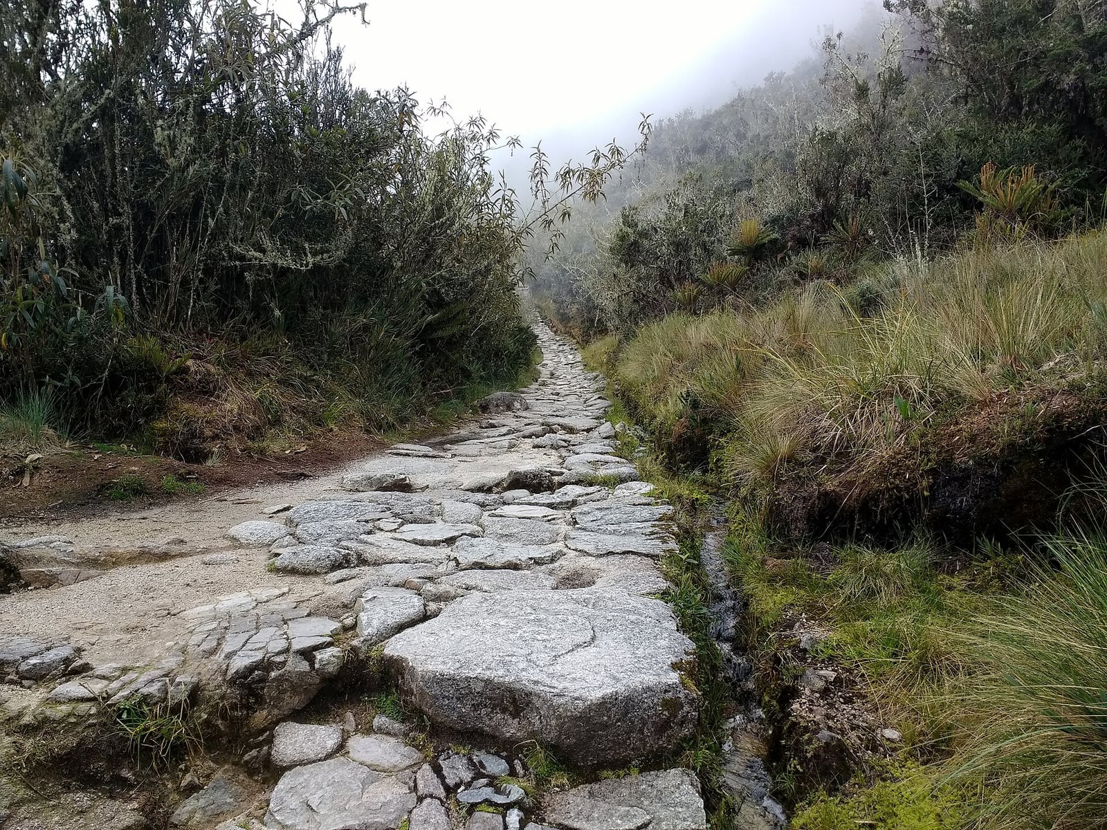
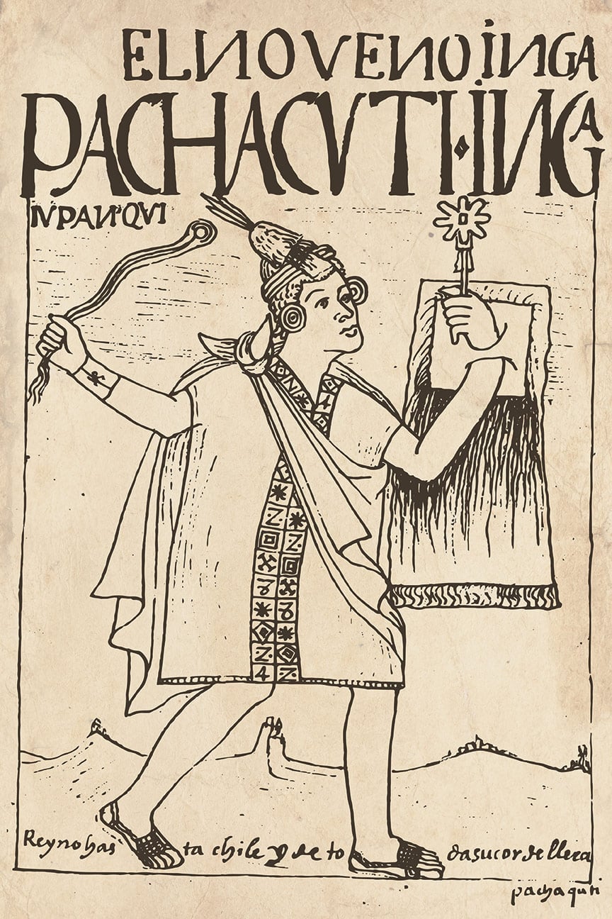
Across the steep terrain of the Andes, the Inca state developed a vast overland network known as the Qhapaq Ñan. Originating from the capital of Cusco, the system facilitated administrative communication, troop deployments, and state redistribution across an empire of roughly twelve million people. Its construction accelerated following the reign of Pachacuti, who initiated the expansion of the realm beyond the Cusco region around 1438. Successive rulers integrated earlier travel routes built by previous cultures, including the Wari and Tiwanaku, while laying new stone highways through deserts, grasslands, and mountain passes.
The full span of this infrastructure remains subject to differing estimates among scholars, with proposed total lengths ranging from 23,000 to 60,000 kilometres. Two primary longitudinal arteries formed the backbone of the network. A coastal route followed the lower plains near the Pacific foothills, while an inland highway traversed the high grassland puna, frequently running at altitudes above 4,000 metres. These main lines were linked by more than twenty transversal routes that crossed the mountains, enabling communication between contrasting environments and reaching isolated ceremonial summits as high as Mount Chañi.

Keep reading in Yester
Coming soon to the App Store
Keep following the story
Sources
Image: Mx._Granger