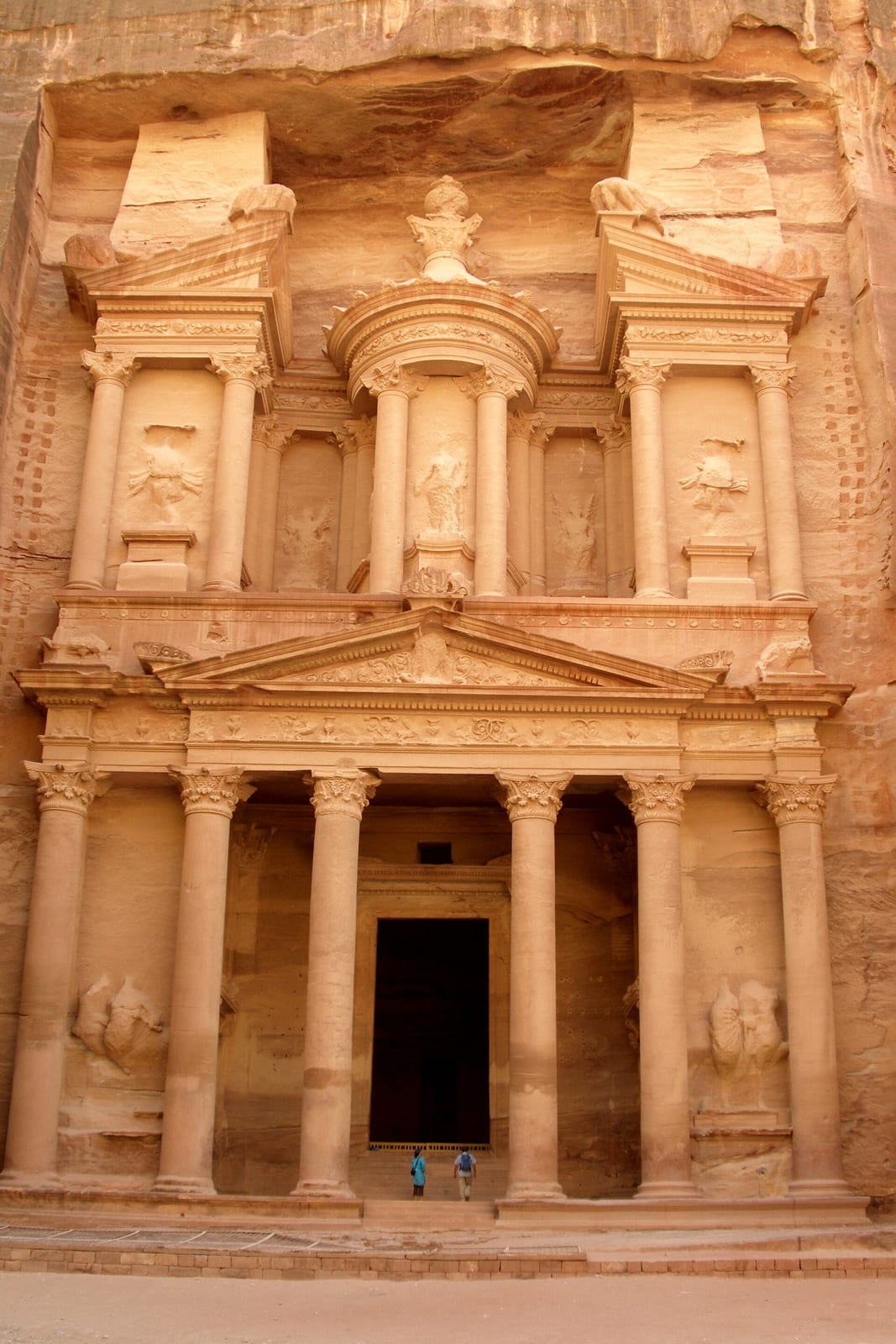
Petra Builds a City Around Water and Trade
Nabataean engineering and exchange supported much more than the rock-cut facades that later became famous.
Nestled within a mountainous basin on the eastern flank of the Arabah valley in southern Jordan, the ancient settlement of Raqmu, later known by the Greek name Petra, grew from a nomadic encampment into a wealthy capital. While prehistoric farming communities existed at nearby Beidha as early as 7000 BC and Edomite settlements occupied the surrounding heights during the Iron Age, the urban center took shape after the arrival of the Nabataeans. Modern linguistic, religious, and archaeological findings identify these people as a northern Arabian tribe rather than Arameans. By the second century BC, the Nabataeans had established Petra as the political hub of their kingdom, situated at a vital desert crossroads.
The survival and prosperity of Petra depended on controlling water in an arid environment that receives an average of less than two hundred millimeters of rain each year. Rather than simply enduring seasonal flash floods, Nabataean builders engineered extensive hydraulic networks to harvest and manage moisture. They constructed dams, cisterns, ceramic pipe conduits, and carved runoff channels across the surrounding canyons. These installations protected the low-lying settlements from destructive flooding, preserved water through long dry spells, and supported agricultural plots and ornamental spaces like the city's pool and garden complex. By turning a rocky basin into an artificial oasis, the inhabitants secured water reserves that they could also commercialize.

Keep reading in Yester
Coming soon to the App Store
Keep following the story
Sources
Image: Vyacheslav Argenberg