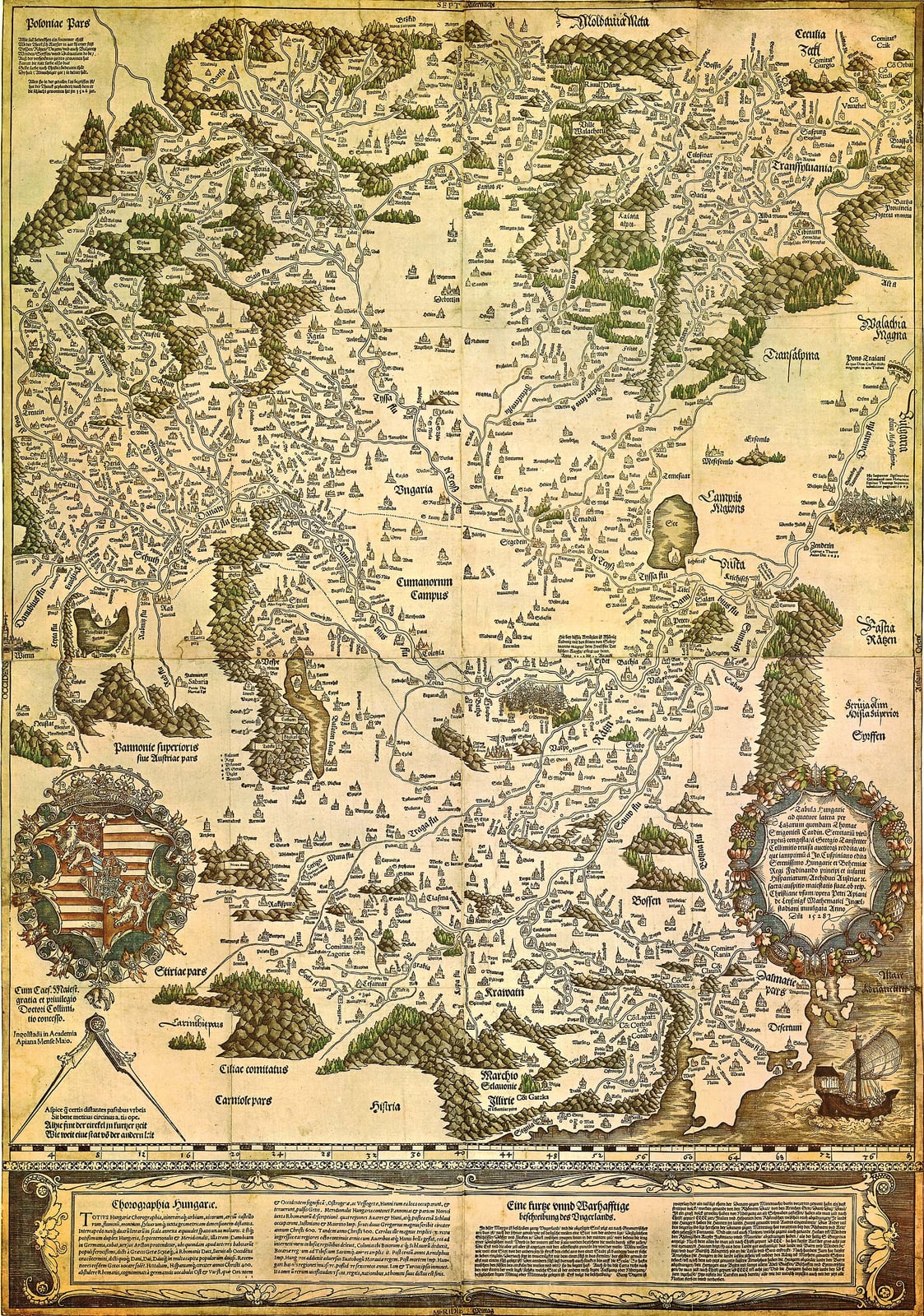
The Magyars Cross the Carpathians
Seven tribes under Árpád moved into the basin that became Hungary.
During the ninth century, the collapse of the Avar Khaganate left the Carpathian Basin politically fragmented. Surviving Avar communities remained scattered throughout the territory, while neighboring polities, including East Francia, the First Bulgarian Empire, and Moravia, competed to project authority across its river valleys and plains. Seeking to bolster their military campaigns, these surrounding powers frequently hired Magyar horsemen as auxiliary soldiers. Through these interventions, the Magyar confederation, then dwelling in the Pontic steppes to the east, gained detailed knowledge of the geography and strategic vulnerabilities of Central Europe.
The nomadic confederation comprised seven core tribes, referred to in Byzantine records as a seven-part alliance and in medieval traditions as the Hetumoger, later augmented by groups known as the Kabars. Leadership was divided between a sacred ruler, styled the kende, and an executive military commander, the gyula. Mounting their campaigns with light cavalry, composite bows, and curved sabres, the Magyars employed feigned retreats and mobile horse archery. Contemporary chroniclers and archaeological finds demonstrate that their tactical methods relied on rapid movement and archery rather than close-order infantry engagements or protracted sieges.

Keep reading in Yester
Coming soon to the App Store
Keep following the story
Sources
Image: Lázár deák (Lazarus secretarius)