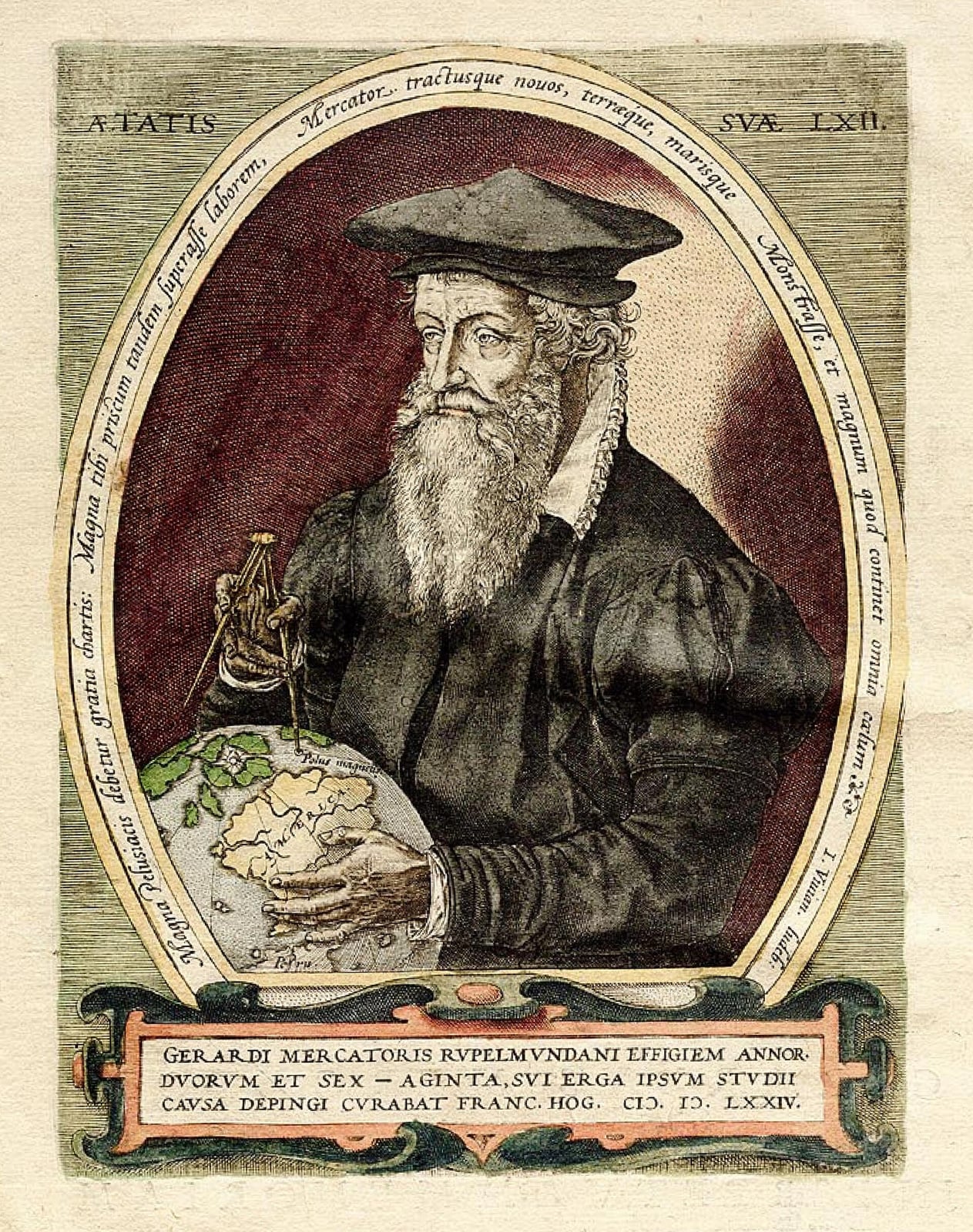
Mercator Draws a Map Sailors Can Steer By
His projection kept compass bearings straight while stretching lands near the poles.
In 1569, Flemish cartographer Gerardus Mercator issued a monumental world map engraved across eighteen copper plates, titled Nova et Aucta Orbis Terrae Descriptio ad Usum Navigantium Emendate Accommodata. Measuring 202 by 124 centimetres when assembled, this large planisphere sought to reconcile contemporary geographic knowledge with the practical needs of ocean navigation. By combining the scholarly cartographic heritage of Claudius Ptolemy with the practical sailing charts developed by Portuguese and Spanish navigators in the portolan tradition, Mercator created a chart specifically engineered to assist pilots plotting courses across open seas.
The defining innovation of the map lay in its mathematical projection, which tackled a fundamental dilemma in marine navigation. On traditional plane charts, parallels were spaced evenly, meaning that straight lines did not correspond to lines of constant compass bearing, known as rhumb lines. Mercator addressed this by establishing parallel meridians and orthogonal parallels, progressively increasing the spacing of latitude degrees toward each pole in direct proportion to the lengthening of the parallels. Because the circumference of a parallel diminishes toward zero at the poles, the spacing had to stretch by a factor equal to the reciprocal of the cosine of the latitude. As Mercator noted in the map legends, this required spacing would attain infinity at the poles, forcing him to terminate the main projection at high latitudes and map the northern polar region separately using an azimuthal equidistant projection.

Keep reading in Yester
Coming soon to the App Store
Keep following the story
Sources
Image: Frans Hogenberg