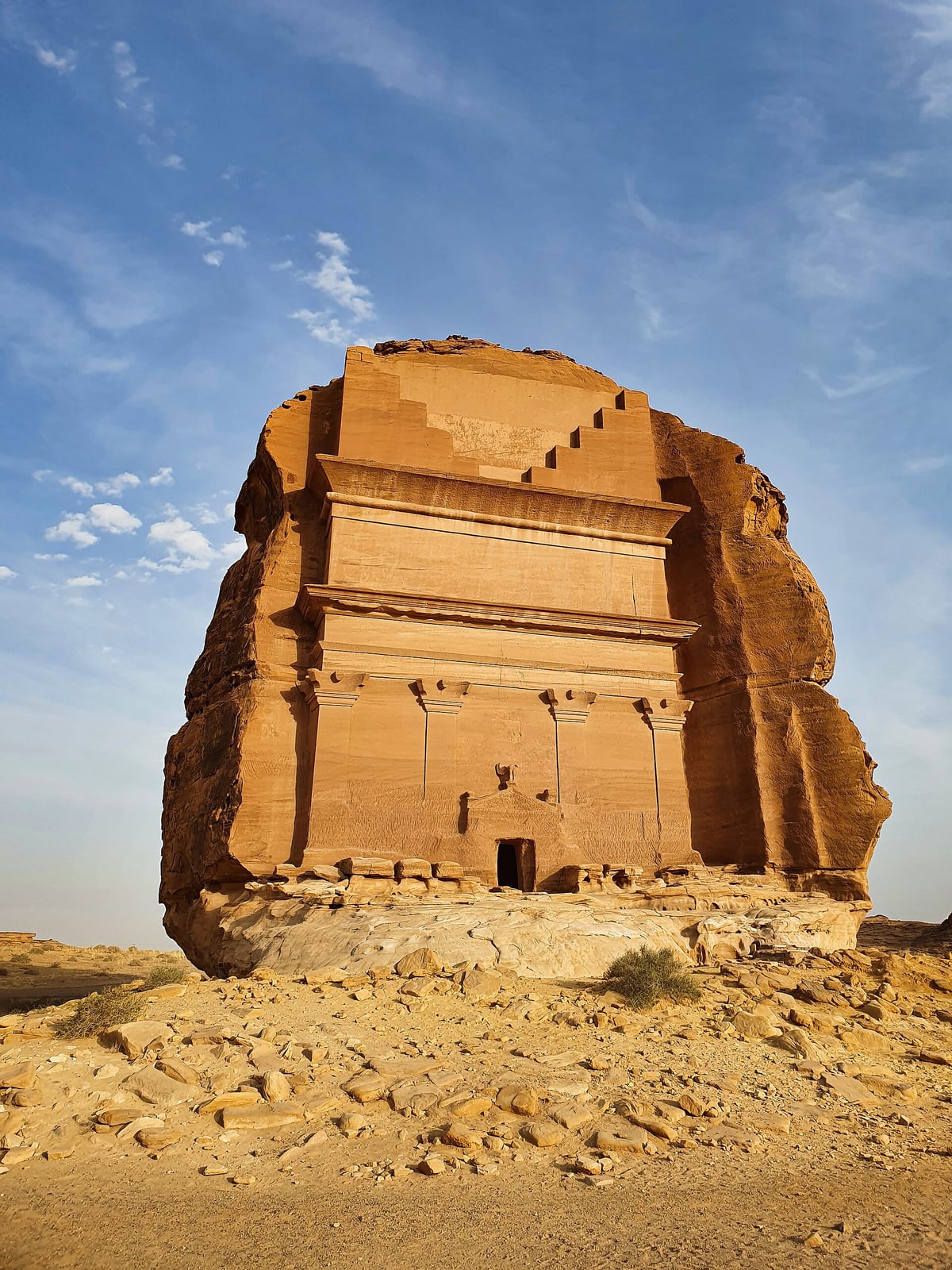
Nabataeans Carve Grand Tombs at Hegra
More than a hundred facades cut into sandstone mark the kingdom’s great southern city.
During the first century CE, the Nabataean Kingdom expanded its southern frontiers across the arid plateau of the northern Hejaz, establishing its most important southern city at Hegra. Located approximately five hundred kilometers south of the capital at Petra, the settlement transformed an inland desert basin into a thriving agricultural and commercial hub. Under the reign of King Aretas IV Philopatris, who governed until 40 CE, Hegra became the premier staging post along the lucrative overland caravan routes controlling the distribution of frankincense, myrrh, and rare spices from southern Arabia to Mediterranean markets.
The survival and prosperity of the city relied on sophisticated water engineering that sustained oasis agriculture in a territory receiving very little rainfall. Rather than relying on surface canals, Nabataean builders tapped into a shallow subterranean aquifer recharged by mountain runoff. Workers excavated more than one hundred and thirty wells into the rock and gravel across the western and northwestern sectors of the basin, reaching groundwater at depths of up to twenty meters. This network enabled the intensive cultivation of date palms, wheat, barley, legumes, and fruit trees, sustaining both local residents and long-distance trade caravans.

Keep reading in Yester
Coming soon to the App Store
Keep following the story
Sources
Image: Prof. Mortel