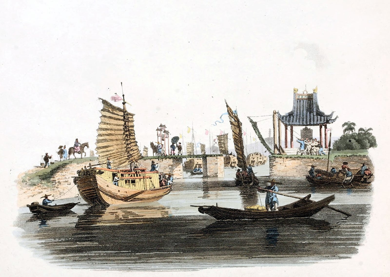
The Sui Dynasty Links China’s Rivers with the Grand Canal
A network of canals tied the rice-growing south to the northern capitals.
Following the reunification of China under the Sui dynasty after three centuries of fragmentation, the imperial court sought to consolidate control over distant regions and resource-rich territories. Under Emperor Yang, the state undertook a massive engineering program between 605 and 610 to connect existing regional waterways into a unified transport system. Older sections, such as the Han Canal dating to the early fifth century BC between the Yangtze and Huai rivers, were incorporated into the new network. Work began with the Tongji Canal in 605, and the project reportedly mobilized millions of conscripted laborers.
The network achieved unprecedented scope by 610 through three major connected systems. The Tongji Canal, joined to the older Han Canal, tied the southern capital of Yangzhou northwest to the imperial center at Luoyang, while the Jiangnan Canal reached southward past Lake Tai to Hangzhou. To the north, the Yongji Canal extended water transport toward the frontier near modern Beijing. In addition to moving southern tax grain directly to the imperial capitals, these canals served urgent military objectives, supplying Sui armies marching into the northern borderlands during campaigns against Goguryeo. Beside the waterways, imperial administrators maintained paved roads, couriers, regular stables, and tree-lined embankments to preserve communication.

Keep reading in Yester
Coming soon to the App Store
Keep following the story
Sources
- The Grand Canal (UNESCO World Heritage Centre)
- Grand Canal (EBSCO Research Starters)
- The center of the Sui-Tang Grand Canal (The Paper, Chanhe district culture series)
- Hangzhou in the Sui dynasty and the southern end of the Grand Canal (The Paper)
- Grand Canal System (The Geography of Transport Systems, Hofstra University)
- Grand Canal (China)
Image: William Alexander