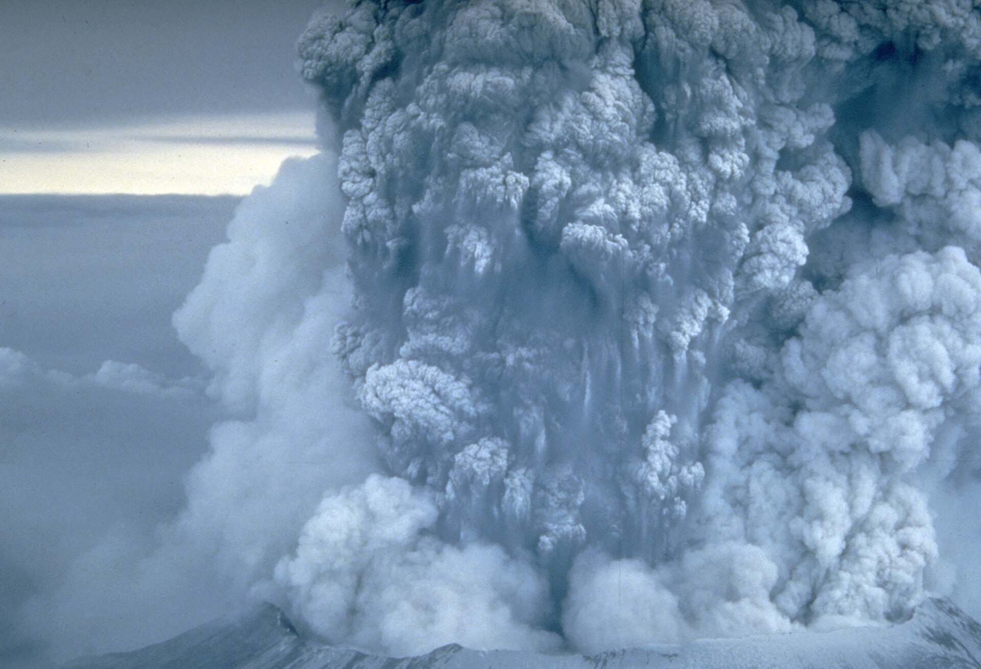
The Morning a Mountain Broke Apart
When Mount St. Helens collapsed and erupted in 1980, it demonstrated that volcanic destruction can strike sideways as well as upward. The catastrophe took dozens of lives, flattened forests, and reshaped modern scientific understanding of volcanic hazards.
In March 1980, earthquakes and steam explosions signaled renewed activity at Mount St. Helens. Rather than treating the mountain as an unchanging landmark, scientists monitored it closely for subtle physical changes. Beneath the visible summit, an active system of pressure, heat, and moving material was already developing.
By the spring of 1980, the north side of the volcano visibly deformed, pushing outward into a pronounced bulge. This shifting flank offered clear evidence that internal conditions were transforming rapidly. While intensive monitoring identified growing danger, it could not eliminate the fundamental uncertainty over exactly when or how the next major event would unfold.

Keep reading in Yester
Coming soon to the App Store
Keep following the story
Sources
Image: Donald A. Swanson