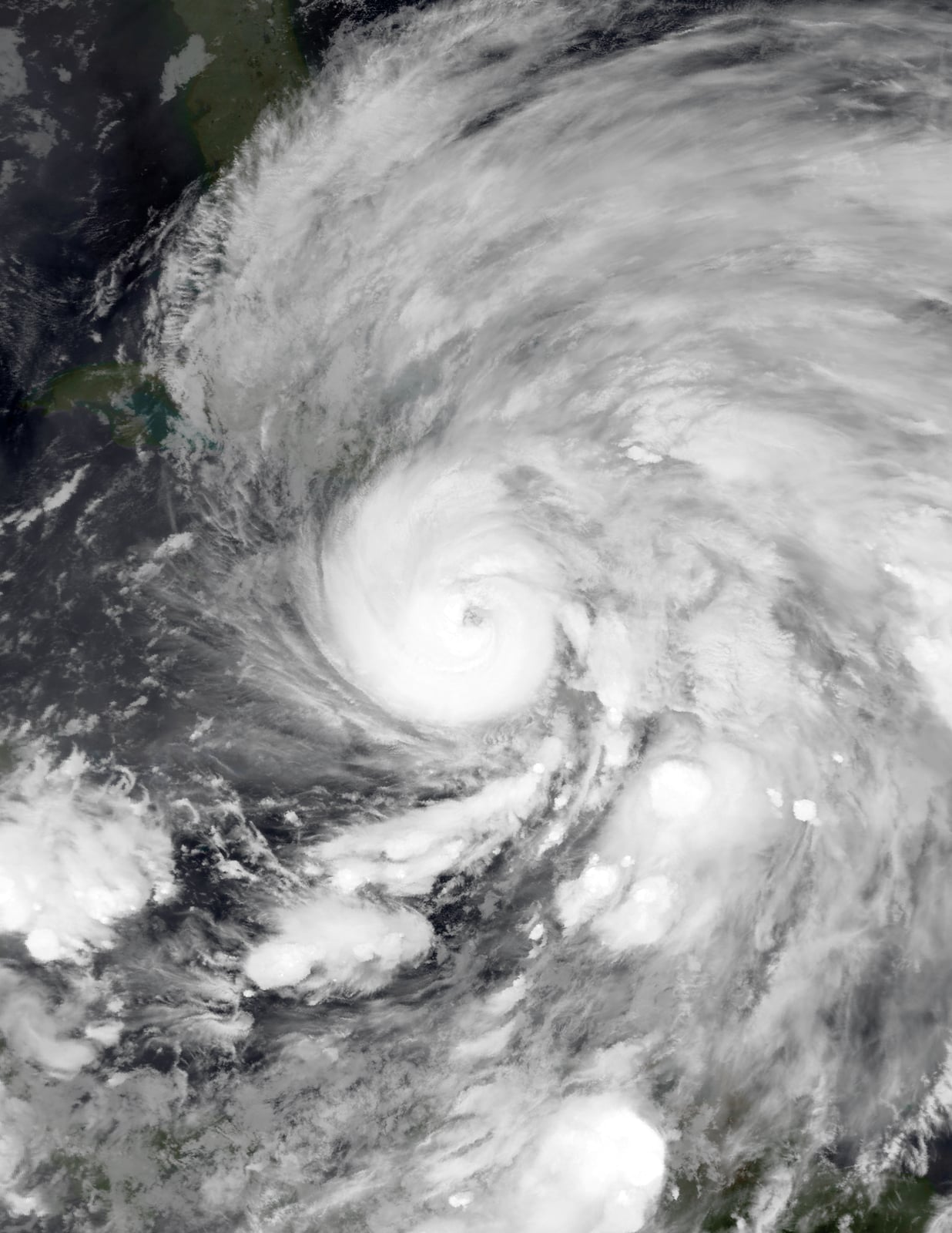
Hurricane Sandy Floods New York
A storm surge flooded subways and left millions without power.
In late October 2012, an immense storm crossed the Caribbean before making a sharp westward turn into the northeastern United States. Forming as a tropical depression in the southwestern Caribbean Sea, south-southwest of Kingston, Jamaica, on October 22, the system intensified into Hurricane Sandy, striking Jamaica as a Category 1 hurricane and eastern Cuba as a Category 3 hurricane. While moving northward across the Bahamas, the hurricane broadened into an exceptionally vast system. Its gale-force winds eventually spanned a diameter of about 870 nautical miles, making Sandy the largest tropical cyclone in a record that began in 1988. An anomalous blocking pattern over the North Atlantic then prevented the cyclone from moving out to sea, steering it toward the Mid-Atlantic coast.
The model of the European Centre for Medium-Range Weather Forecasts was one of the first to show the unusual turn toward land, six to seven days ahead, while most other guidance kept the storm offshore. By October 29, the storm had regained strength before transitioning into a post-tropical cyclone. It maintained sustained winds of 80 miles per hour as it struck the coast near Brigantine, New Jersey. Rather than dissipating quickly, the cyclone's sheer physical scale generated immense barometric anomalies, setting all-time low-pressure records at several sites in the mid-Atlantic region and driving a catastrophic storm surge into the metropolitan shores of New York and New Jersey.

Keep reading in Yester
Coming soon to the App Store
Keep following the story
Sources
- Tropical Cyclone Report: Hurricane Sandy (AL182012) (NOAA National Hurricane Center)
- Superstorm Sandy Takes Toll On New York Hospitals (NPR, via KUNC)
- Superstorm Sandy and Sea Level Rise (NOAA Climate.gov)
- Public Law 113-2 (U.S. Government Publishing Office, GovInfo)
- Tropical Cyclone Naming History and Retired Names (NOAA National Hurricane Center)
- Hurricane Sandy
Image: NASA, MODIS/ LANCE, HDF File Data processed by Supportstorm