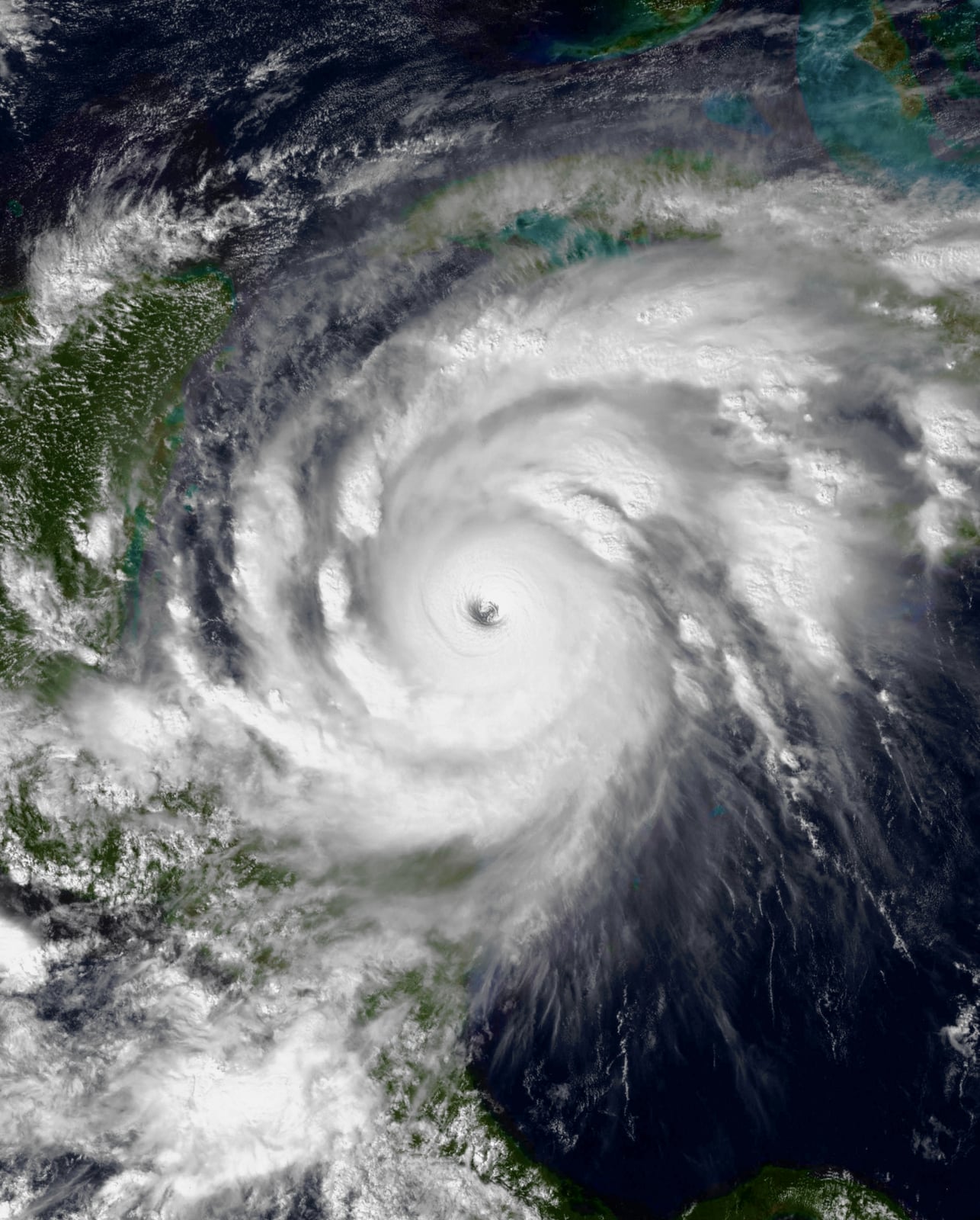
Hurricane Mitch Devastates Central America
Torrential rain caused floods and landslides that killed thousands.
In late October 1998, Hurricane Mitch developed into one of the most destructive natural disasters in the recorded history of the Western Hemisphere. Forming from a tropical wave in the southwestern Caribbean Sea on October 22, the system rapidly organized under favorable conditions, intensifying into a Category 5 hurricane by October 26. Peak sustained winds reached 180 miles per hour, accompanied by a central pressure of 905 millibars. Forecast models originally anticipated that the storm would track north toward the Yucatan Peninsula, but an unobserved atmospheric ridge steered it southward toward Central America. Weakening as it approached land, Mitch made landfall in Honduras on October 29 as a Category 1 hurricane with winds of 80 miles per hour.
Although the winds diminished after landfall, the storm's slow progression across Central America over the next five days caused catastrophic consequences. Drawing immense volumes of moisture from both the Caribbean Sea and the Pacific Ocean, Mitch stalled across mountainous terrain. The system produced historic downpours, with southern Honduras receiving exceptional rainfall. Choluteca recorded 912 millimeters, while unofficial mountain observations elsewhere reached up to 1,900 millimeters. Torrential runoff rapidly overwhelmed river systems, with the Ulua River swelling to a depth of 12.5 meters. The resulting torrents washed away rain gauges, stripped riverbanks, and unleashed thousands of shallow landslides and debris flows across the region.

Keep reading in Yester
Coming soon to the App Store
Keep following the story
Sources
- Preliminary Report, Hurricane Mitch, 22 October - 05 November 1998 (NOAA National Hurricane Center)
- 1998 Hurricane Mitch (Hurricanes: Science and Society, University of Rhode Island)
- Catastrophic precipitation-triggered lahar at Casita volcano, Nicaragua (U.S. Geological Survey)
- Hurricane Mitch: Peak Discharge for Selected River Reaches in Honduras (U.S. Geological Survey)
- Landslides triggered by Hurricane Mitch in Tegucigalpa, Honduras (U.S. Geological Survey)
- 15th Anniversary of Hurricane Mitch (NOAA Atlantic Oceanographic and Meteorological Laboratory)
- Mitch Kills At Least 7,000 (CBS News)
- Hurricane Mitch
Image: The National Oceanic and Atmospheric Administration (NOAA)