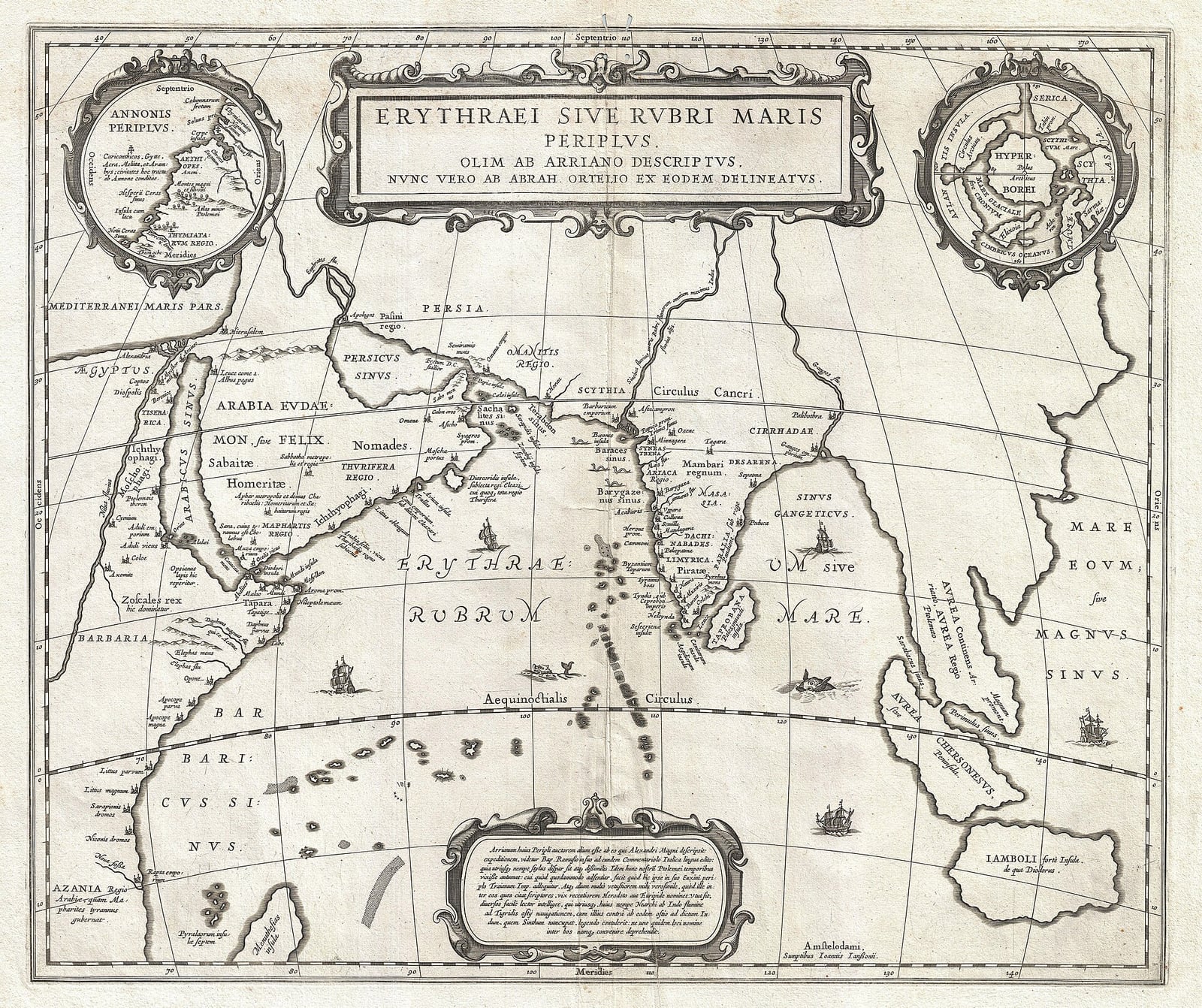
A Merchant’s Guide Maps Trade from the Red Sea to India
The Periplus lists ports, goods and monsoon winds for Greek-speaking traders.
Sometime during the middle of the first century, an anonymous merchant or navigator composed a practical sailing guide in Koine Greek describing the maritime routes connecting Roman Egypt to East Africa, Southern Arabia, and India. Known today as the Periplus of the Erythraean Sea, the handbook served as a functional itinerary for seafarers and traders. The author surveyed anchorages, local political regimes, navigational hazards, and prevailing winds across a maritime expanse that encompassed the modern Red Sea, the Persian Gulf, and the wider Indian Ocean.
Although a surviving tenth-century Byzantine manuscript copied the text alongside a later work by Arrian, modern scholars dismiss that attribution and agree the author was likely a Greek-speaking subject of the Roman Empire residing in Egypt. Analysis of the text's colloquial phrasing and specific commercial focus suggests a merchant or ship's pilot rather than a formal literary scholar. Dates proposed by twentieth-century historians generally concentrate between AD 40 and 70, reflecting contemporary political conditions recorded in the guide, such as alliances with South Arabian monarchs and the regional rule of Western Satrap dynasts in western India.

Keep reading in Yester
Coming soon to the App Store
Keep following the story

Sources
Image: Jan Janssonius