Mapungubwe Links Southern Africa to Distant Trade
An archaeological landscape preserves evidence of political hierarchy, craftsmanship and long-distance exchange.
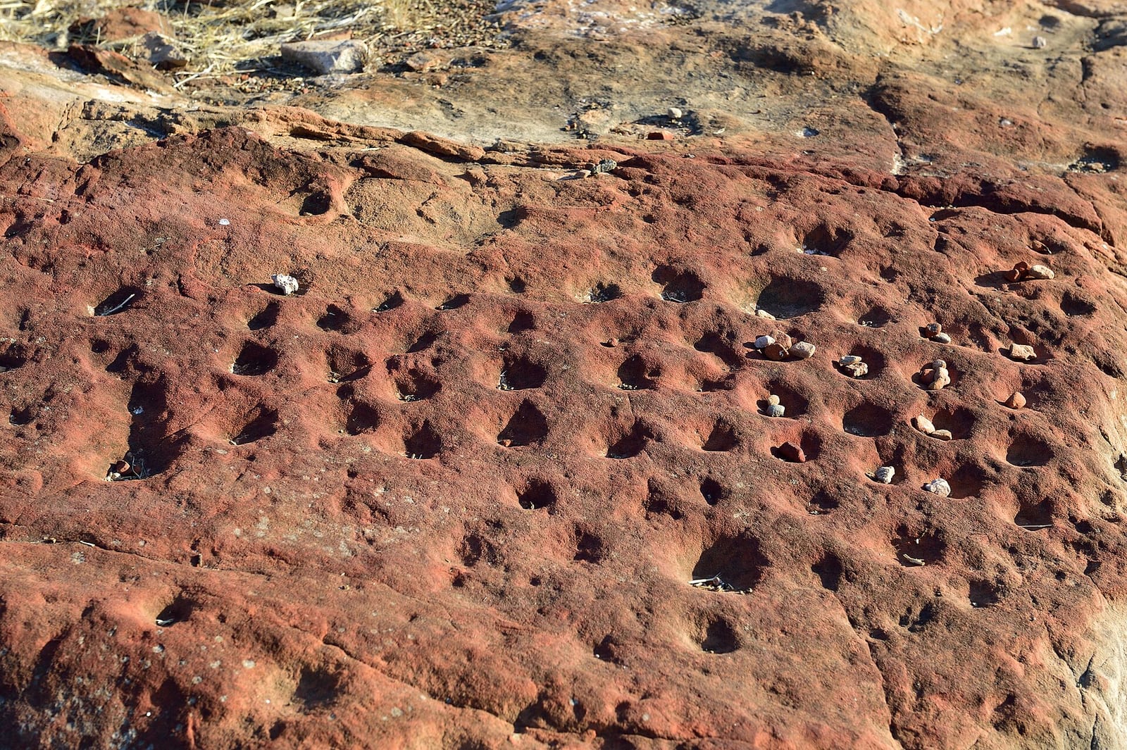
At the meeting of the Shashe and Limpopo rivers in southern Africa, the archaeological landscape of Mapungubwe preserves the remains of a significant regional centre. The settlement sequence began with earlier agropastoral communities, including the Leopard's Kopje culture at Bambandyanalo, designated by archaeologists as K2. Inhabitants of K2 cultivated crops such as sorghum and cowpeas, managed cattle herds across adjoining territories to build social ties, and participated in emerging exchange networks. By the early thirteenth century, rising population numbers and growing disparities in wealth began to outgrow the physical arrangement of the settlement.
Around 1220, coinciding with a severe dry spell, the leadership established a new capital at nearby Mapungubwe Hill. Elites took up residence atop the steep sandstone summit, while the broader populace built dwellings around its base. Hilltops in the region carried long histories as rainmaking venues, and Mapungubwe Hill became the centralised focus of rain control. By residing directly upon the summit, leaders linked their political authority to environmental and ritual powers, marking the rise of sacred kingship and the physical separation of social classes.

Keep reading in Yester
Coming soon to the App Store
Keep following the story
Sources
Image: South African Tourism from South Africa