The Satellite That Kept Looking Home
Landsat made Earth observation repeatable. Instead of one unforgettable picture of the planet, it began an archive that could show how landscapes changed over time.
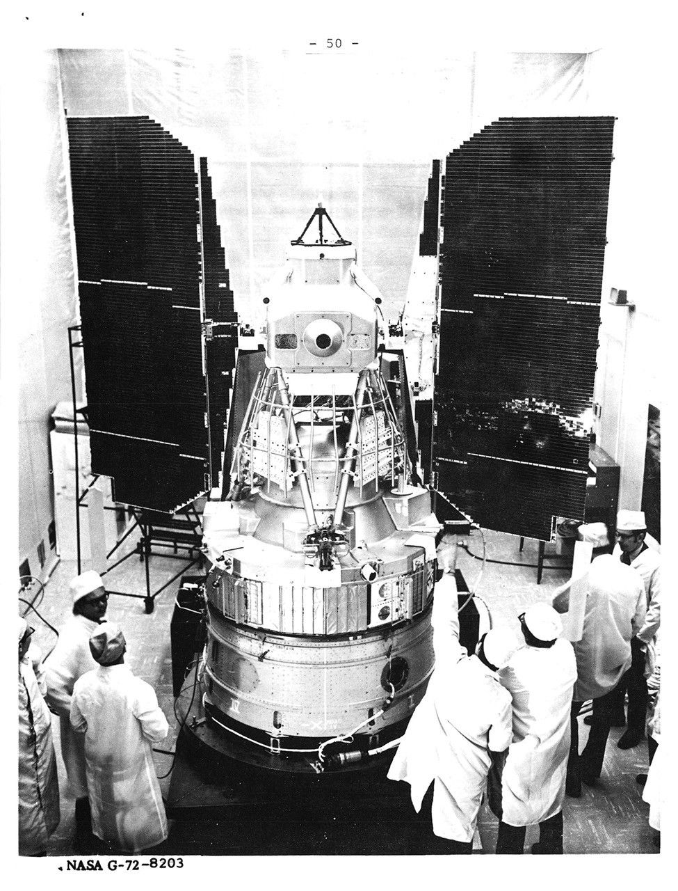
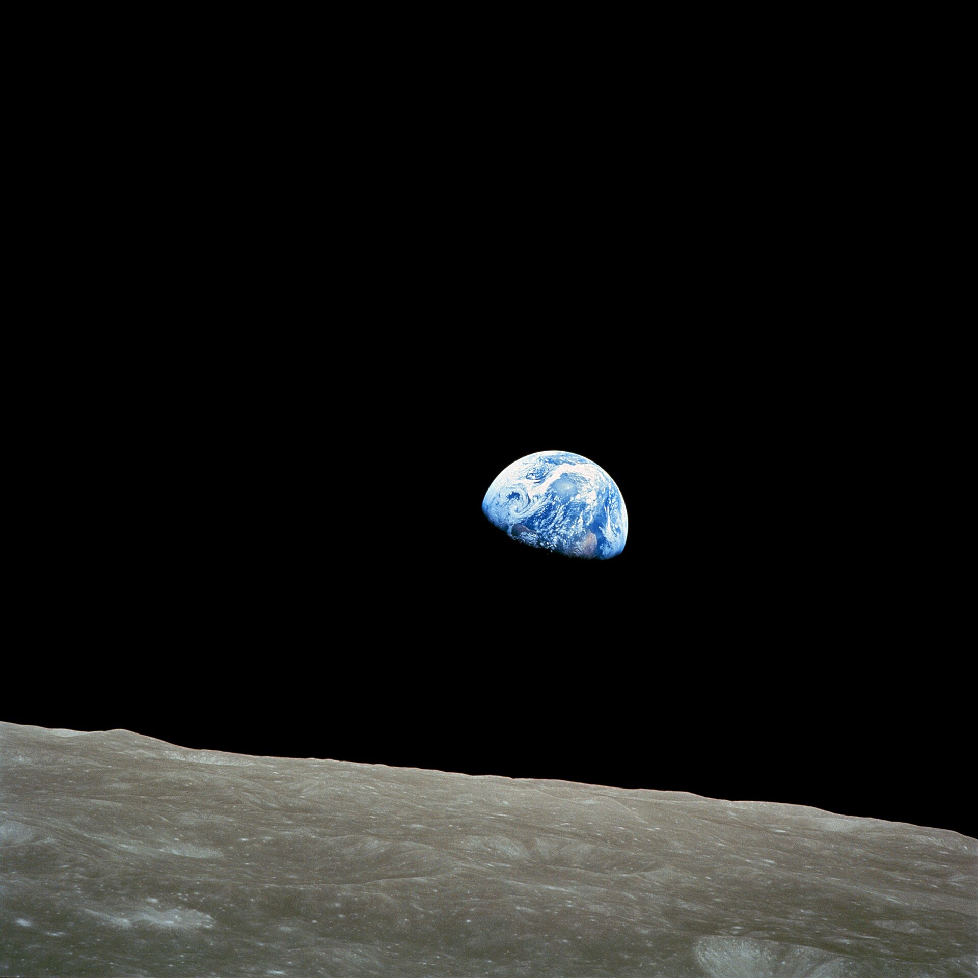
A photograph of Earth can change how people imagine the planet. A second photograph of the same place, taken later and measured consistently, can answer a different question: what changed? Landsat began turning that question into a practical method. Launched on July 23, 1972, the first satellite in the program was intended to observe the land repeatedly, building evidence rather than waiting for a single unforgettable view.
Its original name was Earth Resources Technology Satellite 1, or ERTS-1. It became Landsat 1 when the program was renamed in 1975. Unlike a crewed mission, it did not carry someone who could choose a scene through a window. Its instruments recorded broad strips of terrain along an orbital path. An eighteen-day repeat cycle brought opportunities to examine the same areas again, although cloud cover could still hide what researchers wanted to see.

Keep reading in Yester
Coming soon to the App Store
Keep following the story

Sources
Image: NASA