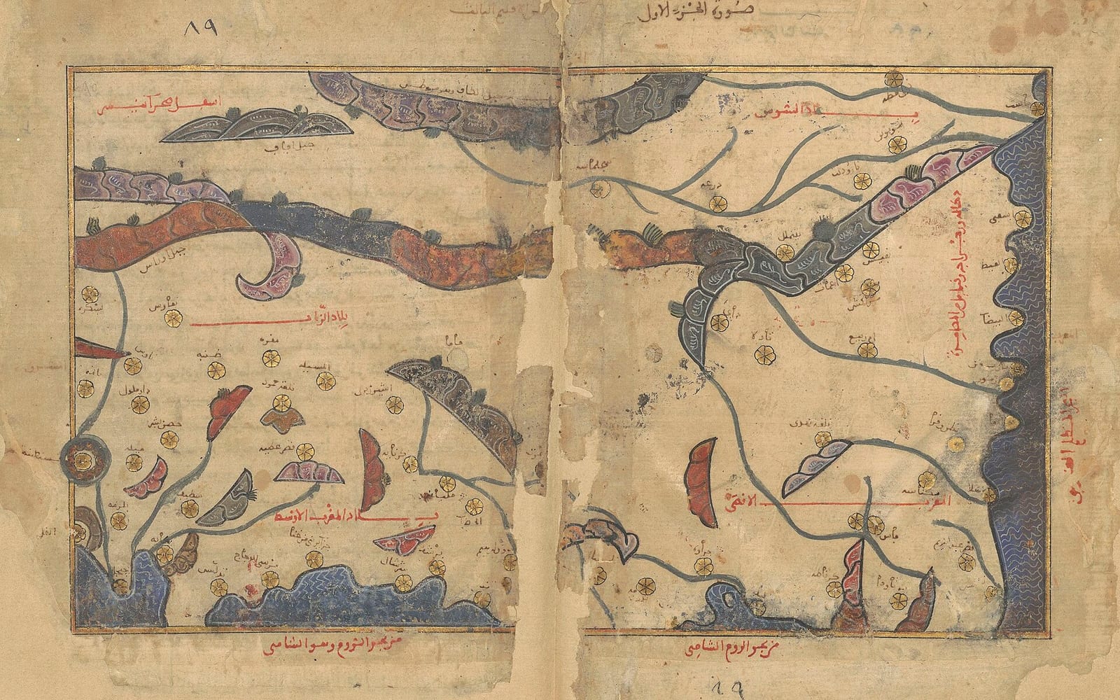
Al-Idrisi Draws a Connected World in Sicily
A geographical project at a Mediterranean court brought together knowledge of places, routes and peoples.
Around 1138, King Roger II invited the Arab scholar Muhammad al-Idrisi to his royal court in Palermo. Sicily had evolved into a distinct multicultural realm under Norman rule, providing an environment that attracted scholars from across the Mediterranean basin. During their initial discussions, al-Idrisi described his personal journeys throughout North Africa and Western Europe. Recognizing that systematic geographic knowledge could advance his administrative and political ambitions, Roger commissioned al-Idrisi to create a comprehensive atlas of the known world, initiating an investigative effort that spanned fifteen years.
Al-Idrisi gathered information by interviewing experienced travelers, cross-checking accounts, and retaining only details supported by widespread agreement while discarding contradictory statements. Roger occasionally joined these interrogations to oversee the compilation of data about his territory and neighboring realms. Beyond personal testimony, al-Idrisi sent agents to distant regions to verify local conditions. He integrated older scholarship, drawing heavily upon Arabic translations of Ptolemy's Geography alongside scientific and anthropological methods developed by the tenth-century Balkhi school of geography during the Abbasid Caliphate in Baghdad. Roger also devised instruments to assist in calculating longitudes and latitudes.

Keep reading in Yester
Coming soon to the App Store
Keep following the story
Sources
Image: unknown copyist