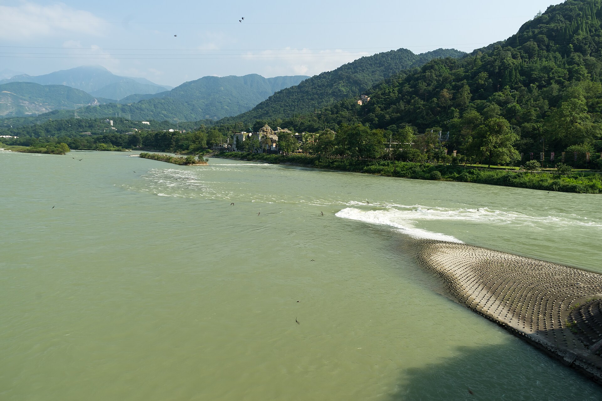
Li Bing Tames the Min River at Dujiangyan
An irrigation system built without a dam still waters the Chengdu Plain today.
Around 256 BC, during the Warring States period, the State of Qin faced persistent environmental hazards along the Min River in modern Sichuan. As the river flowed down from the Min Mountains onto the western edge of the Chengdu Plain, its current abruptly decelerated, causing heavy deposits of silt to choke the waterway. Fed by torrential spring snowmelt from the adjacent highlands, the river frequently broke its banks and caused disastrous annual floods across the lowlands. King Zhao of Qin recognized the strategic necessity of managing the watercourse, both to protect nearby communities and to secure vital supply routes for military vessels maneuvering toward the frontier.
Conventional river control at the time often relied on erecting massive barricades, but constructing a standard dam would have blocked Qin vessels from navigating the waterway. Seeking an alternative, the official and hydrologist Li Bing devised a strategy to manage the river's energy through systematic division rather than complete obstruction. Supported by a substantial workforce reported in traditional records to number in the tens of thousands, Li oversaw an engineering scheme designed to simultaneously channel excess floodwater, clear heavy sediments, and deliver reliable irrigation across the arid basin.

Keep reading in Yester
Coming soon to the App Store
Keep following the story

Sources
Image: JianEn Yu