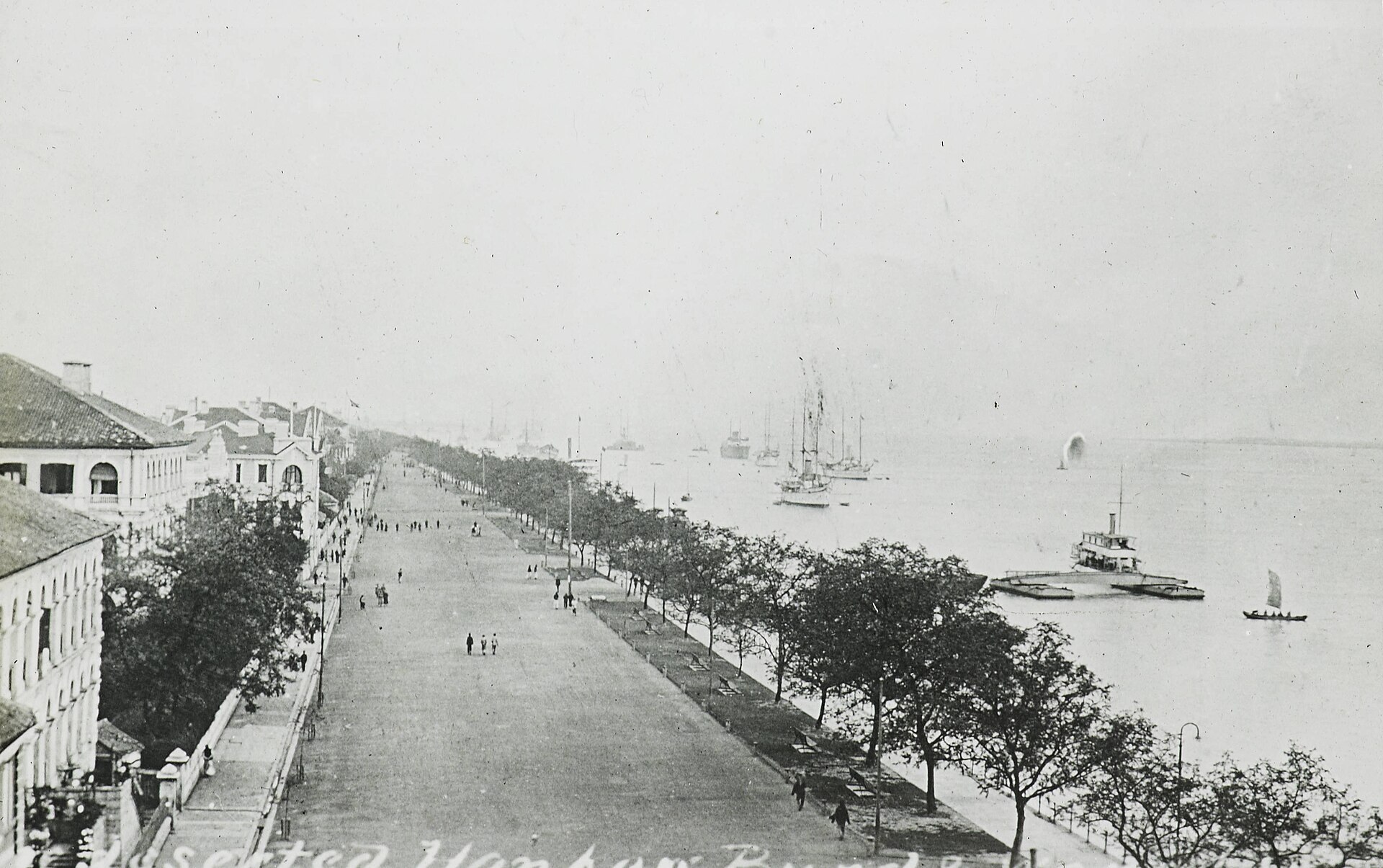
The Yangtze and Huai Rivers Flood Central China
Months of rain caused one of the deadliest floods on record.
Between June and August 1931, central China experienced a sequence of catastrophic floods along the Yangtze and Huai rivers that ranks among the deadliest environmental disasters ever recorded. The crisis followed years of severe drought between 1928 and 1930, terminated by a freezing winter that accumulated extensive mountain snowpacks. When heavy spring rainfall met melting snow in early 1931, the typical pattern of separate seasonal high-water periods merged into an unbroken surge. Unusually intense cyclonic activity in July brought a rapid succession of storms into the river basin, delivering exceptional rainfall and pushing river levels to their highest marks since modern record-keeping began.
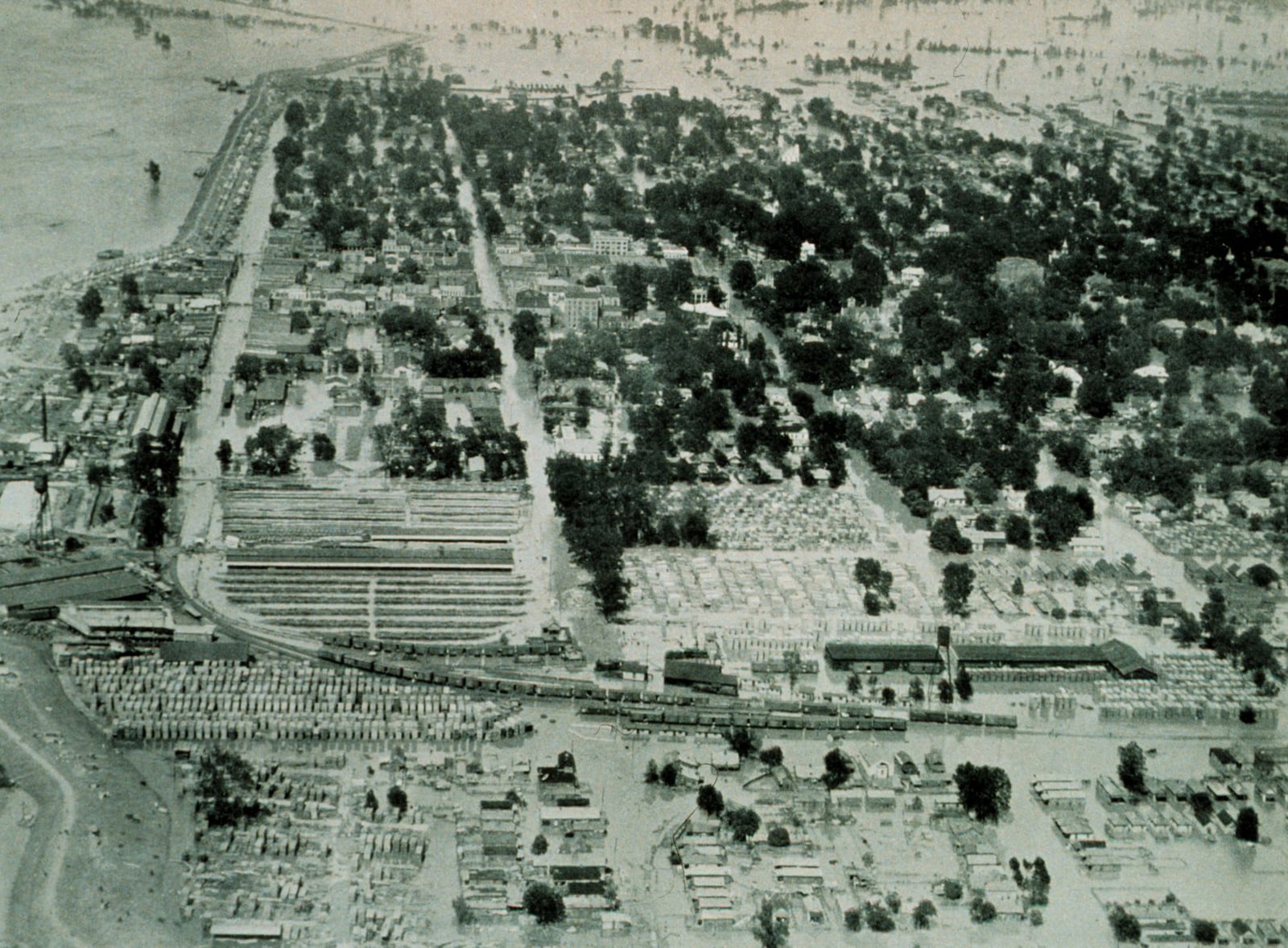
The resulting inundation covered roughly 180,000 square kilometers, submerging large tracts across eight core provinces, including Hubei, Anhui, Jiangsu, and Hunan. Farmland throughout the Yangtze basin suffered ruinous losses, destroying roughly fifteen percent of wheat and rice yields, with substantially higher destruction in the hardest-hit zones. Major urban centers were entirely compromised. In Wuhan, dike collapses in late July submerged the city under water for nearly three months, leaving hundreds of thousands of residents and displaced rural refugees crowded onto railway embankments and isolated patches of dry ground.

Keep reading in Yester
Coming soon to the App Store
Keep following the story
Sources
Image: Unknown author Unknown author