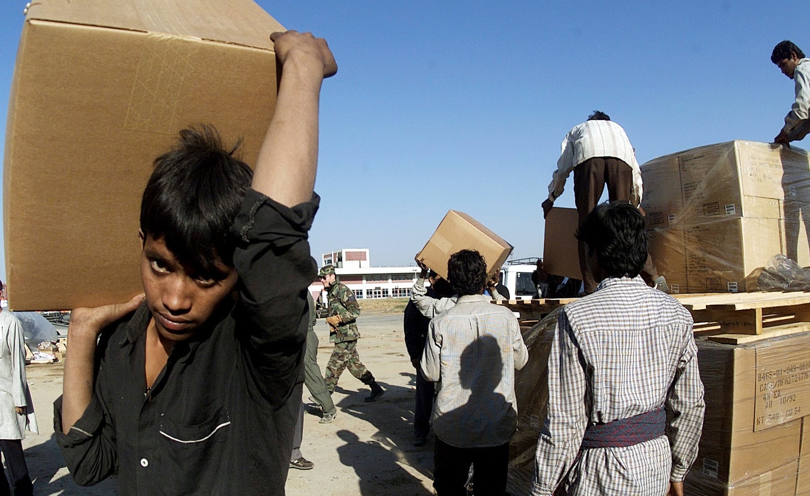
An Earthquake Strikes Gujarat on Republic Day
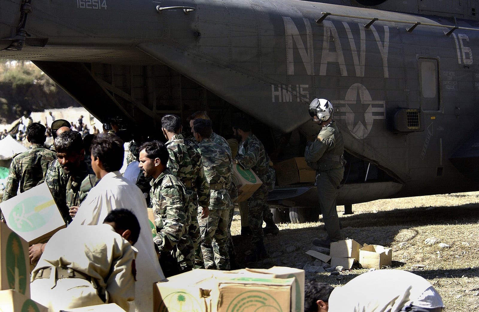
A quake centered near Bhuj killed thousands and flattened towns.
On the morning of 26 January 2001, at 8:46 am local time, a violent intraplate earthquake struck the state of Gujarat in western India, coinciding with the country's Republic Day celebrations. The epicenter was located approximately nine kilometers south-southwest of the village of Chobari in the Bhachau Taluka of Kutch district. While the United States Geological Survey calculated the magnitude at 7.7, the International Seismological Centre recorded it as 7.6 on the moment magnitude scale, originating at an estimated depth of 17.4 kilometers. According to a World Bank assessment, the ground shaking lasted about two minutes and was felt across much of the Indian subcontinent.
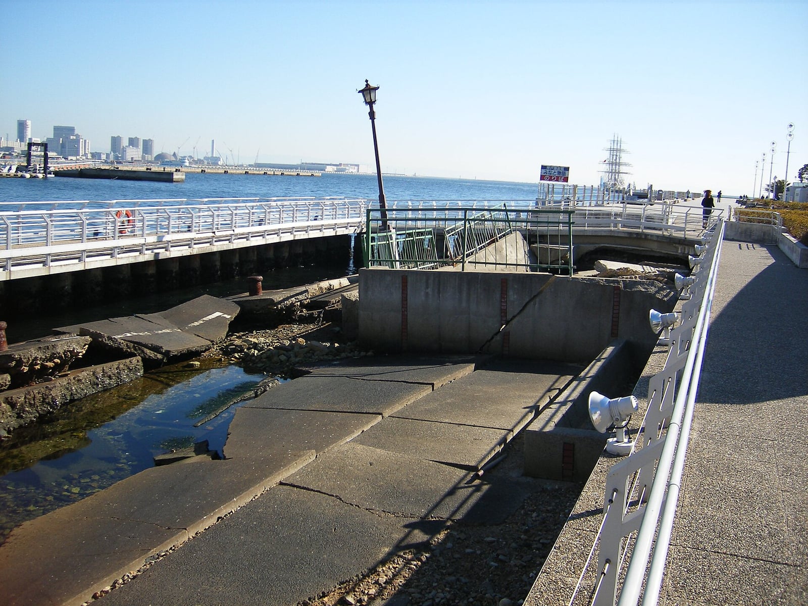
The disaster stemmed from tectonic compression hundreds of kilometers away from the plate boundary where the Indian plate collides with the Eurasian plate. In the Kutch region, this ongoing collision reactivated ancient rift structures that had formed during the breakup of Gondwana. Movement occurred along a previously unknown south-dipping fault. Because the rupture did not create visible tears directly at the surface, geologists classified it as a blind thrust earthquake. Despite the lack of surface ruptures, shaking triggered extensive soil liquefaction in dry lakebeds, coastal margins, and the Rann of Kutch, where fountains of saline water surged several meters high.

Keep reading in Yester
Coming soon to the App Store
Keep following the story
Sources
- M 7.7 - 17 km NW of Bhachau, India (US Geological Survey)
- Significant Earthquake Database: Gujarat, 26 January 2001 (NOAA National Centers for Environmental Information)
- India - Gujarat Emergency Earthquake Reconstruction Program Project, Technical Annex (World Bank)
- India - Gujarat Emergency Earthquake Reconstruction Project, Implementation Completion and Results Report (World Bank)
- 2001 Gujarat earthquake
Image: Staff Sgt. Stan Parker, U.S. Air Force